Mt.Rokko

Route No.1

History
Origin and History of the name of Aburakobushi

Once upon a time in Kobe, the Nada area rapeseed oil sellers delivered oil to Arima or Tamba via Rokko’s mountainous region. On their journey to their destinations, since the road was very rough, the sellers often spilled oil along the way.
The word “oil” means “abura” and “spilled” means “koboshi(ta)” in Japanese. As time went by, “Koboshi(ta)” was transformed into “kobushi”. This is the origin story of the name Aburakobushi.
Spot
Highlights・Famous spots


Steel transmission tower
En route, there is a huge steel transmission tower that you need to go under. Right under the tower is the best spot to take dynamic photos of the strongly framed steel object with a powerful presence.

On the Aburakobushi Road, there are multiple junctions which are connected to two types of paths, “rough path” and “gentle path”. Select your preferred path based on your condition!
For example, the Sankaku-ten triangle point is located on the rough path and the observation rock is on the gentle path.

Observation rock
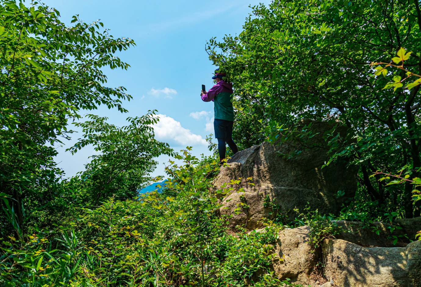
The incredible view from the top of the rock is way beyond expectations! The observation rock exclusively offers a spectacular view of the downtown Kobe area and Mt. Nagamine. Be cautious when climbing the rock as it is relatively high and steep.

Sankaku-ten triangle point
The Sankaku-ten triangle point on the top of Mt. Aburakobushi is surrounded by rocks. The Sankaku-ten is reachable from the junction via the rough path.
Please check out detailed information by using mountain maps or web applications
beforehand and enjoy your fun and safe hiking!


The nearest station to Aburakobushi is
Kobe municipal bus “Rokko Cable Shita Station”.
Kobe municipal bus Route 16 (bound for Rokko Cable Shita Station)
Kobe municipal bus Route 106 (bound for Rokko Cable Shita Station)
Kobe municipal bus Route 16 (bound for Rokko Cable Shita Station)
Kobe municipal bus Route 106 (bound for Rokko Cable Shita Station)
Kobe municipal bus Route 16 (bound for Rokko Cable Shita Station)
On the way back, take the Rokko Cable Car at Rokko Cable Sanjo Station.


